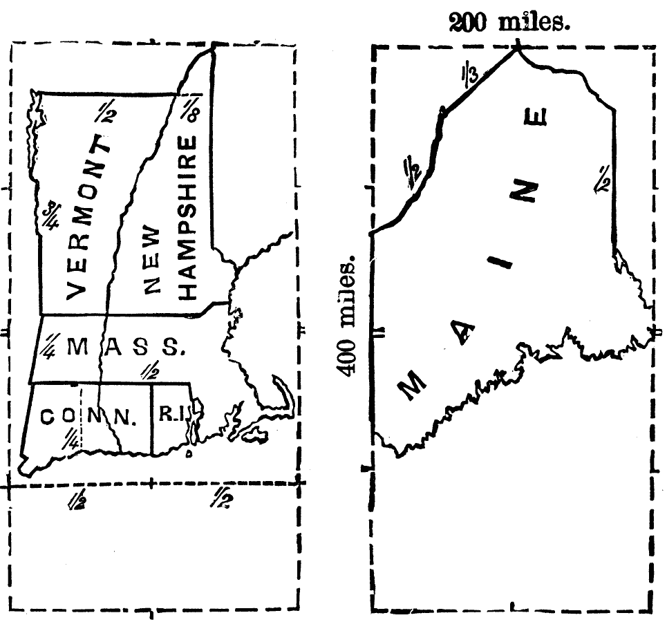
Description: Miles are provided to estimate length and width of New England States.
Place Names: New England States, Vermont, �New Hampshire, �Massachusetts, �Connecticut, �Rhode Island, �Maine, ��New Englan
ISO Topic Categories: inlandWaters,
location
Keywords: Size Comparisons of New England States, physical, kMapSkills, physical features, inlandWaters,
location, Unknown, 1872
Source: James Monteith, Comprehensive Geography (New York, NY: A. S. Barnes and Company, 1872) 29
Map Credit: Courtesy the private collection of Roy Winkelman |
|