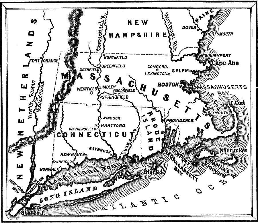
Description: New England Colonies and part of New Netherlands.
Place Names: New England States, Boston, �Connecticut, �Delaware, �Dover, �Maine, �Massachusetts, �New Hampshire, �New York, �Rhode Island, �New York State, �New Englan
ISO Topic Categories: oceans,
location,
inlandWaters,
boundaries
Keywords: United Colonies of New England, borders, �physical, �historical, �country borders, historical event, oceans,
location,
inlandWaters,
boundaries, Unknown, 1643
Source: David B. Scott, A School History of the United States, from the discovery of America to the year 1880. (New York, NY: American Book Company, 1884) 63
Map Credit: Courtesy the private collection of Roy Winkelman |
|