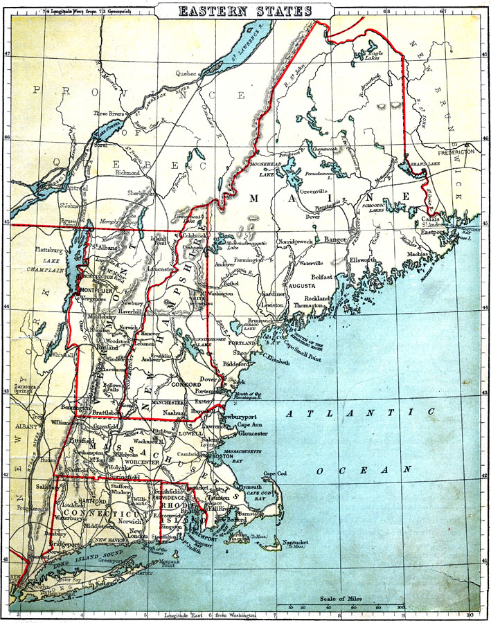
Description: The New England States of the United States.
Place Names: New England States, Eastport, �Calais, �Ellsworth, �Belfast, �Bangor, �Rockland, �Biddeford, �Concord, �Dover, �Portsmouth, �Newburyport, �Gloucester, �Boston, �Cambridge, �Taunton, �Newport, �Providence, �Pawtucket, �Hartford, �New London, �Waterbury, �Bennington, �Bratt
ISO Topic Categories: boundaries,
inlandWaters,
location,
oceans,
transportation
Keywords: New England States, physical, �political, �transportation, physical features, major political subdivisions,
country borders, railroads, boundaries,
inlandWaters,
location,
oceans,
transportation, Unknown, 1888
Source: , Cornell's Intermediate Geography (New York, NY: American Book Company, 1888) 25
Map Credit: Courtesy the private collection of Roy Winkelman |
|
