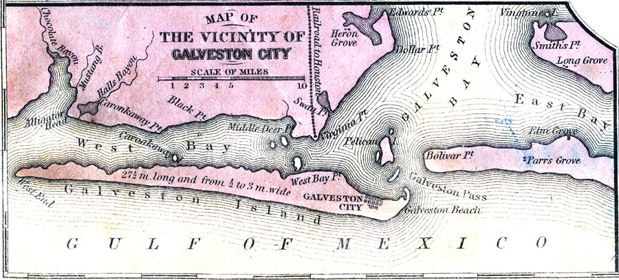
Description: A map from 1853 of Galveston Island, showing the city of Galveston and railroad to Houston, and coastal features of the area.
Place Names: Texas, Galvesto
ISO Topic Categories: inlandWaters,
location,
oceans,
transportation
Keywords: Vicinity of Galveston City, transportation, �physical, physical features, railroads, inlandWaters,
location,
oceans,
transportation, Unknown, 1858
Source: , Mitchell's School Atlas (Philadelphia, PA : E. H. Butler & Co., 1863)
Map Credit: Courtesy the private collection of Roy Winkelman |
|