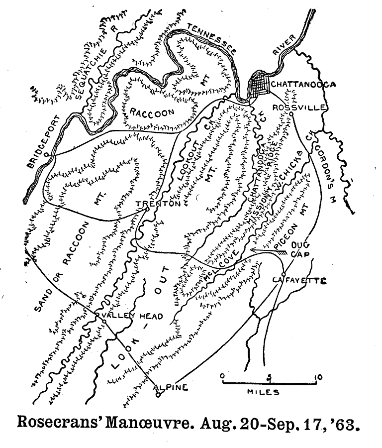
Description: A plan of the region near Chattanooga, Tennessee, site of Rosecrans' Maneuver, August 20–September 17, 1863.
Place Names: Tennessee, Chattanooga, Tennessee River, Bridgeport, Sequatchie River, Trenton, Sand Or Raccoon Mountain, Valley Head, Alpine, La Fayette, Dug Gap, Pigeon Mountain, Rossvill
ISO Topic Categories: transportation,
location,
inlandWaters
Keywords: Rosecrans' Manœuvre, physical, �political, �transportation, �historical, �american civil war, rosecrans' manoeuvre, rosecrans manœuvre, maneuvre, kBattle, physical features, roads, Civil War, transportation,
location,
inlandWaters, Unknown, 1863
Source: Theodore Ayrault Dodge, A Bird's-Eye View of our Civil War (Boston, MA: Houghton, Mifflin and Company, 1897) 175
Map Credit: Courtesy the private collection of Roy Winkelman |
|