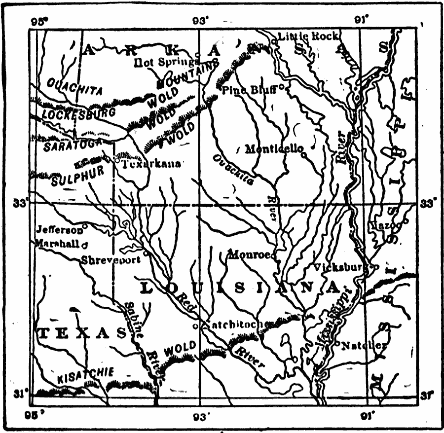
Description: The topographic features of the Gulf Coastal Plain in northern Louisiana and southern Arkansas.
Place Names: Old South States, Louisiana, �Texas, �Mississippi, �Arkansas,
ISO Topic Categories: inlandWaters,
location,
boundaries
Keywords: Gulf Coastal Plain, physical, �political, physical features,
topographical, major political subdivisions, inlandWaters,
location,
boundaries, Unknown, 1911
Source: Isaiah Bowman, Ph. D, Forest Physiography (New York, NY: John Wiley and Sons, 1911) 532
Map Credit: Courtesy the private collection of Roy Winkelman |
|