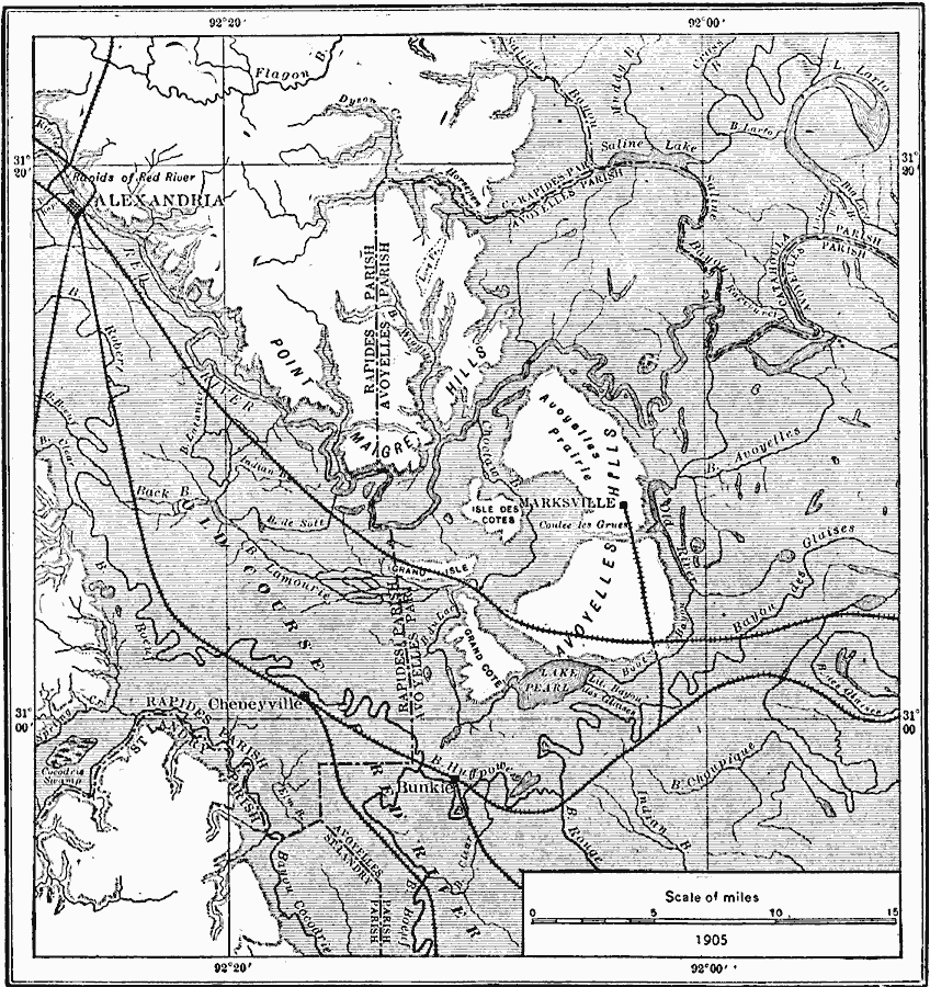
Description: A map from 1911 of the diversion of the Red River below Alexandria, Louisiana, showing the old course of the river, and the location of rapids. The map also shows typical drainage features in the Red River and Mississippi River flood plains.
Place Names: Louisiana, Alexandria, �Cheneyville, �Marksvill
ISO Topic Categories: boundaries,
inlandWaters,
location
Keywords: Red River Below Alexandria, transportation, �physical, �political, �hydrological, physical features, local jurisdictions, railroads, drainage basins, boundaries,
inlandWaters,
location, Unknown, 1911
Source: Isaiah Bowman, Ph. D, Forest Physiography (New York, NY: John Wiley and Sons, 1911) 537
Map Credit: Courtesy the private collection of Roy Winkelman |
|