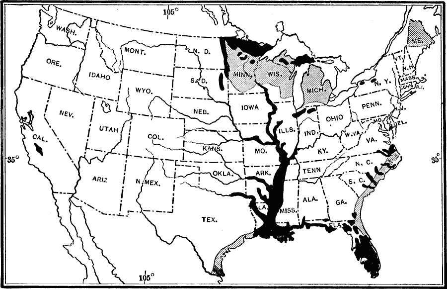
Description: A map from the 19th Annual Report of the U.S. Geological Survey (1898) showing areas of swamp and marsh lands in the United States at the time, with degrees of swampiness shown in two shadings.
Place Names: A Complete Map of the United States,
ISO Topic Categories: biota,
boundaries,
inlandWaters,
location,
oceans
Keywords: Swamp lands of the United States, statistical, �political, �physical, �swamps, physical features, country borders,
major political subdivisions, vegetation, biota,
boundaries,
inlandWaters,
location,
oceans, Unknown, 1911
Source: Isaiah Bowman, Ph. D, Forest Physiography (New York, NY: John Wiley and Sons, 1911) 549
Map Credit: Courtesy the private collection of Roy Winkelman |
|