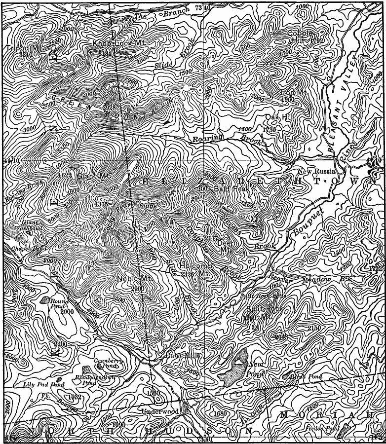
Description: A contour map from the vicinity of Elizabethtown showing the rectangular pattern of relief and drainage lines in fault–block mountains of the eastern Adirondacks.
Place Names: New York,
ISO Topic Categories: boundaries,
inlandWaters,
location
Keywords: Drainage Lines of the Eastern Adirondacks, physical, �political, physical features,
topographical, county borders, boundaries,
inlandWaters,
location, Unknown, 1911
Source: Isaiah Bowman, Ph. D, Forest Physiography (New York, NY: John Wiley and Sons, 1911) 582
Map Credit: Courtesy the private collection of Roy Winkelman |
|