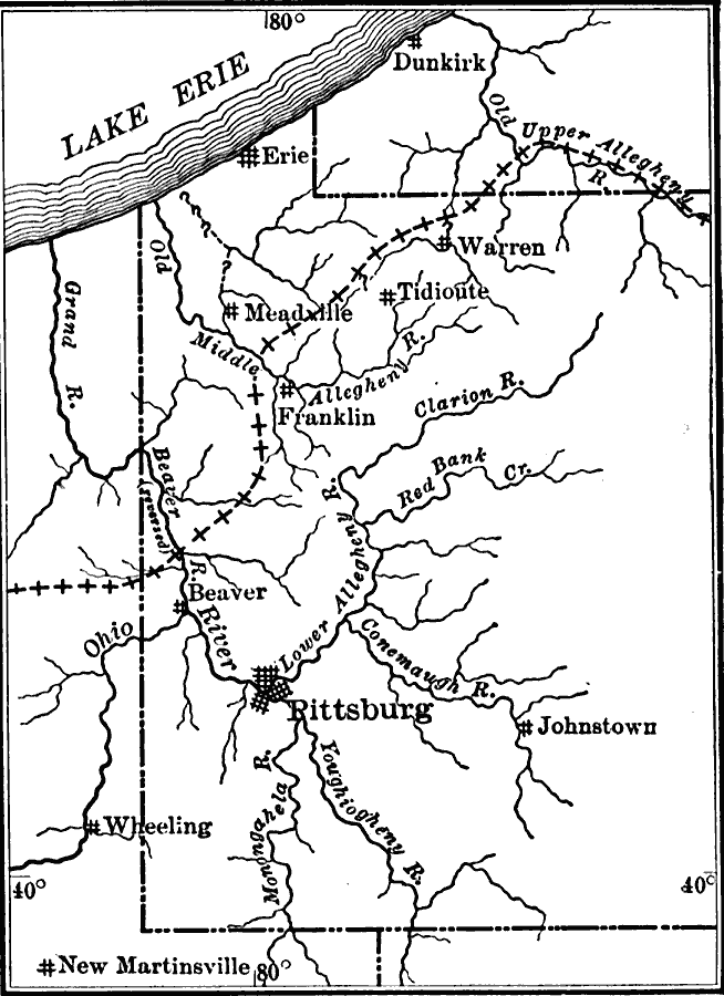
Description: A map from 1911 showing the probable preglacial drainage of western Pennsylvania. The limit of glaciation is shown by the broken crossed line.
Place Names: Pennsylvania, Erie, �Meadville, �Pittsburg, �Franklin, �Beave
ISO Topic Categories: boundaries,
geoscientificInformation,
location,
inlandWaters
Keywords: Preglacial Drainage of Western Pennsylvania, physical, �political, physical features,
geological, major political subdivisions,
local jurisdictions, boundaries,
geoscientificInformation,
location,
inlandWaters, Unknown, 1911
Source: Isaiah Bowman, Ph. D, Forest Physiography (New York, NY: John Wiley and Sons, 1911) 599
Map Credit: Courtesy the private collection of Roy Winkelman |
|