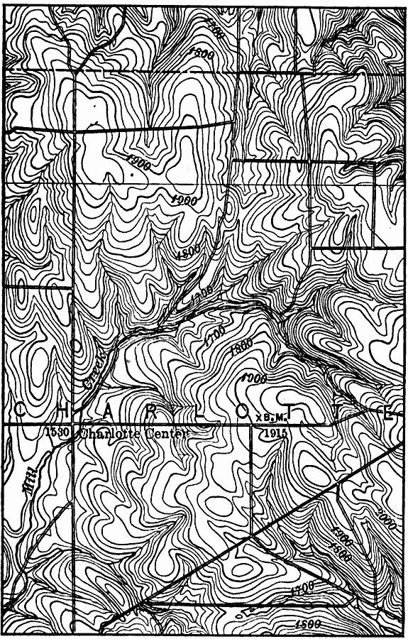
Description: A contour map of part of the Cherry Creek quadrangle in the vicinity of Charlotte Center, showing typical non–glaciated topography in central New York.
Place Names: New York, Cherry Creek
ISO Topic Categories: elevation,
location
Keywords: Cherry Creek Quadrangle, physical, physical features,
topographical, elevation,
location, Unknown, 1911
Source: Isaiah Bowman, Ph. D, Forest Physiography (New York, NY: John Wiley and Sons, 1911) 718
Map Credit: Courtesy the private collection of Roy Winkelman |
|