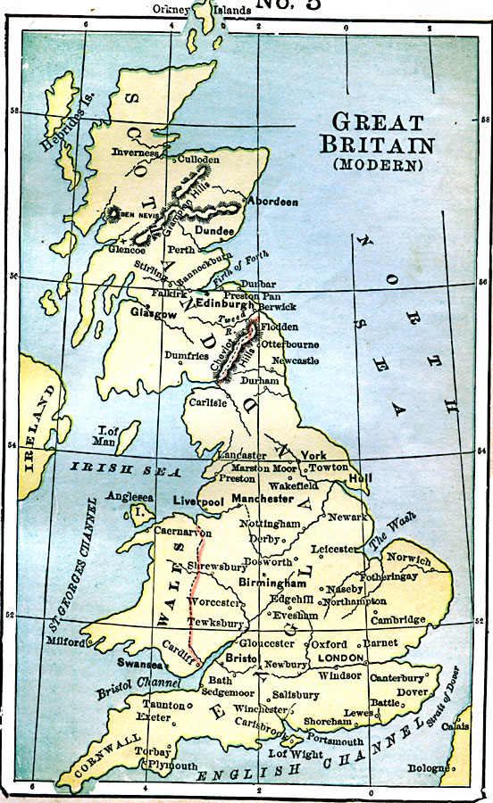
Description: A map of Great Britain in 1889, showing major cities, boundaries of Scotland, England, and Wales, rivers, Ben Nevis, and the Grampian and Cheviot Hills.
Place Names: United Kingdom, Liverpool, �Manchester, �London, �Glasgow, �Aberdeen, �Dundee, �Edinborough, �Plymout
ISO Topic Categories: boundaries,
inlandWaters,
location,
oceans
Keywords: Modern Great Britain, physical, �political, physical features, major political subdivisions, boundaries,
inlandWaters,
location,
oceans, Unknown, 1889
Source: John J. Anderson, Ph.D., A School History of England (New York, NY: Effingham Maynard and Co., 1889) 172
Map Credit: Courtesy the private collection of Roy Winkelman |
|