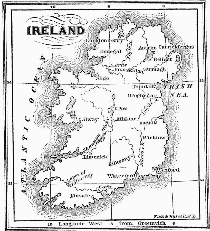
Description: A map of Ireland around 1689, showing rivers and major cities.
Place Names: Ireland, Kinsale, �Wexford, �Waterford, �Donegal, �Belfast, �Londonderry, �Limerick, �Kilkenny, �Dublin, �Cork, �Galwa
ISO Topic Categories: location,
oceans,
inlandWaters
Keywords: Ireland, physical, physical features, location,
oceans,
inlandWaters, Unknown, 1689
Source: John J. Anderson, Ph.D., A School History of England (New York, NY: Effingham Maynard and Co., 1889) 271
Map Credit: Courtesy the private collection of Roy Winkelman |
|