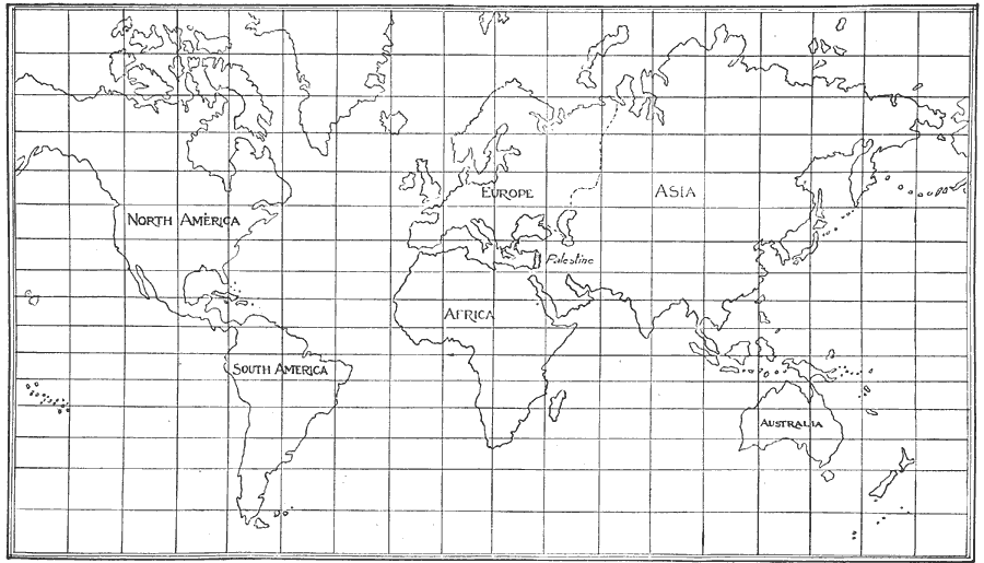
Description: Mercator projection of the World. "Showing position and size of Palestine." — Smith
Place Names: A Complete Map of Globes and Multi-continent, Africa, �Asia, �Australia, �Europe, �North America, �South Americ
ISO Topic Categories: boundaries,
location,
oceans
Keywords: World on Mercator Projection, physical, physical features, boundaries,
location,
oceans, Unknown, 1911
Source: William Walter Smith, The Students' Illustrated Historical Geography of the Holy Land (Philadelphia, PA: The Sunday School Times Company, 1911) 64
Map Credit: Courtesy the private collection of Roy Winkelman |
|