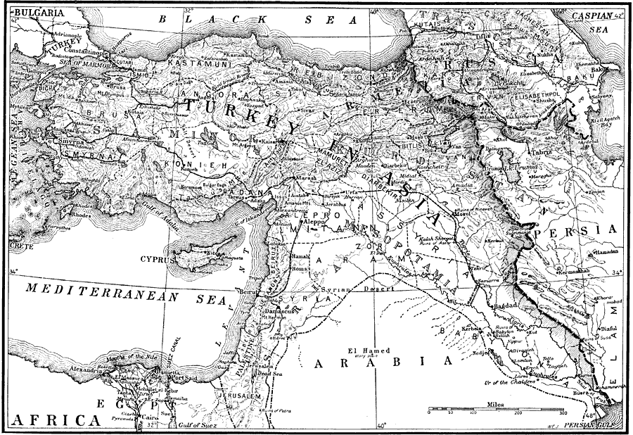
Description: A map of the Middle East from a 1916 National Geographic article showing the ancient territories of Mesopotamia, Syria, Asia Minor, Kurdistan, and Trans Caucasia. The map shows the more modern boundaries of Turkey in Asia, Russia, Bulgaria, Persia, Arabia, and Egypt. Major cities, railways, rivers, coastal features, and terrain are shown.
Place Names: Regional Mediterranean, Aegean Sea, �Africa, �Arabia, �Armenia, �Asia, �Asia Minor, �Assyria, �Babylonia, �Black Sea, �Bulgaria, �Caspian Sea, �Cyprus, �Egypt, �Europe, �Jerusalem, �Mediterranean Sea, �Mesopotamia, �Palestine, �Persia, �Russia, �Turke
ISO Topic Categories: historical, �physical, �prehistoric, kWorldAfroAsia
Keywords: Outline Map of the World's Most Historic Lands, historical, �physical, �prehistoric, � physical features, historical, �physical, �prehistoric, kWorldAfroAsia, Unknown, 1916
Source: Gilbert H. Grosvenor, ed., The National Geographic Magazine An Illustrated Monthly (Washington, DC: Judd & Detweiler Inc. , 1916) 216
Map Credit: Courtesy the private collection of Roy Winkelman |
|