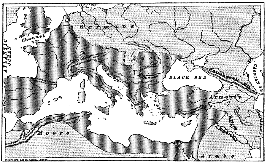
Description: A map showing the extent of the Western and Eastern Roman Empire prior to Emperor Trajan's (AD 98–117) eastern conquest and annexation of the Armenian and Parthian (Persian) Empires. The Western Roman Empire extended from approximately Montenegro in the east, north to Hadrian's Wall in the British Isles, all of France, Spain, Portugal, and northern Africa to the east of Tripoli near Sabratha. The Eastern Roman Empire extended east from Sabratha through much of modern Egypt, the Sinai Peninsula, Jordan, Syria, and Turkey, then west through the Balkan Peninsula.
Place Names: Regional Mediterranean, Italy, �France, �Germany, �Portugal, �Spain, �United Kingdom, �River Rhine, �River Danube, �Black Sea, �Mediterranean Se
ISO Topic Categories: physical, �historical, kRomanEmpire, kWorldMedSea
Keywords: The Roman Empire, physical, �historical, kRomanEmpire, physical features,
topographical, physical, �historical, kRomanEmpire, kWorldMedSea, Unknown, 753 B.C. to 117 A.D.
Source: M. Creighton, History of Rome (New York, NY: D. Appleton and Company, 1890) Frontispiece
Map Credit: Courtesy the private collection of Roy Winkelman |
|