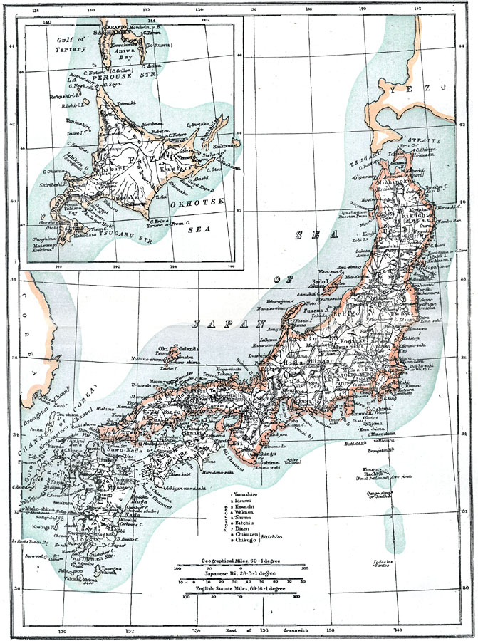
Description: A map from 1903 of Japan showing the islands of Yezo (Hokkaido), Hondo (Honshu), Shikoku, and Kiushiu (Kyushu). An inset map details the northern island of Hokkaido. The historical provinces of Japan are shown, including 9 smaller provinces numbered (1) Yamashiro, (2) Idzumi (Izumi), (3) Kawachi, (4) Wakasa, (5) Shima, (6) Bitchu, (7) Bizen, (8) Chikuzen, and (9) Chikugo. Three map scales are given, including geographical miles (60 miles equals 1 degree along the equator), the Japanese Ri (28.3 ri equals 1 degree along the equator), and English statute miles (69.16 miles equal 1 degree along the equator).
Place Names: Japan, Akita, �Fukuoka, �Hiroshima, �Kobe, �Nagoya, �Osaka, �Sapporo, �Sendai, �Tokyo, �Yokoham
ISO Topic Categories: oceans,
location,
inlandWaters
Keywords: Japan, physical, �political, county borders, oceans,
location,
inlandWaters, Unknown, 1903
Source: Spencer Baynes, LL.D., and W. Robertson Smith, LL.D., eds., The Encyclopedia Britannica vol. 13 (New York, NY: The Werner Company, 1903)
Map Credit: Courtesy the private collection of Roy Winkelman |
|