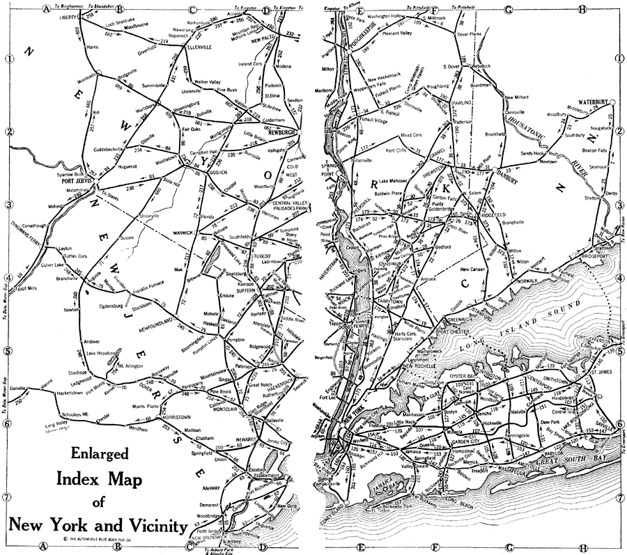
Description: An index map from the 1920 Automobile Club of Rochester, of Long Island north to Pouchikeepsie, and from Port Jervis east to Long Island, showing roads.
Place Names: New York, Brooklyn, �New York City, �Port Jervis, �Danbury, �Pouchikeepsie, �Newburgh,
ISO Topic Categories: inlandWaters,
location,
transportation
Keywords: New York and Vicinity, physical, �transportation, kAutomobile, physical features, roads,
water routes, inlandWaters,
location,
transportation, Unknown,1920
Source: , Automobile Club of Rochester (New York, NY: The Automobile Club of Rochester, 1920) 18-19
Map Credit: Courtesy the private collection of Roy Winkelman |
|