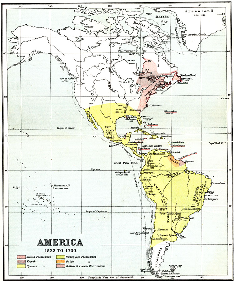
Description: A map of the Americas showing the land claims or possessions of Britain, France, Spain, Portugal, and Holland in the western hemisphere between 1522 and 1700. The map shows the period roughly from the conquest of Mexico by Cortez to the territorial rivalry between France and Britain in Canada, and includes several sea routes of exploration along the Pacific coast from the southern tip of South America to Mexico, and the voyage of Juan de Fuca (Ioannis Fokas) to Vancouver (1592). The map is color–coded to show the Spanish and Portuguese territories, the French territories in Guiana, Canada, and the West Indies, the Dutch territories in Guiana, the British territories in the West Indies and North America, and the British and French rival claims in Canada.
Place Names: Regional Americas, South America, �North America, �Emprie of the Incas, �Brazil, �Guiana, �New Spain, �Hispaniola, �New France, �New England, �New Scotlan
ISO Topic Categories: physical, �political, �historical, kWorldAmericas
Keywords: European Colonization of the Americas, physical, �political, �historical, physical features, physical, �political, �historical, kWorldAmericas, Unknown, 1522–1700
Source: Ernest Rhys, Ed., A Literary and Historical Atlas of North & South America (New York, NY: E.P. Dutton & CO., 1911) 4
Map Credit: Courtesy the private collection of Roy Winkelman |
|