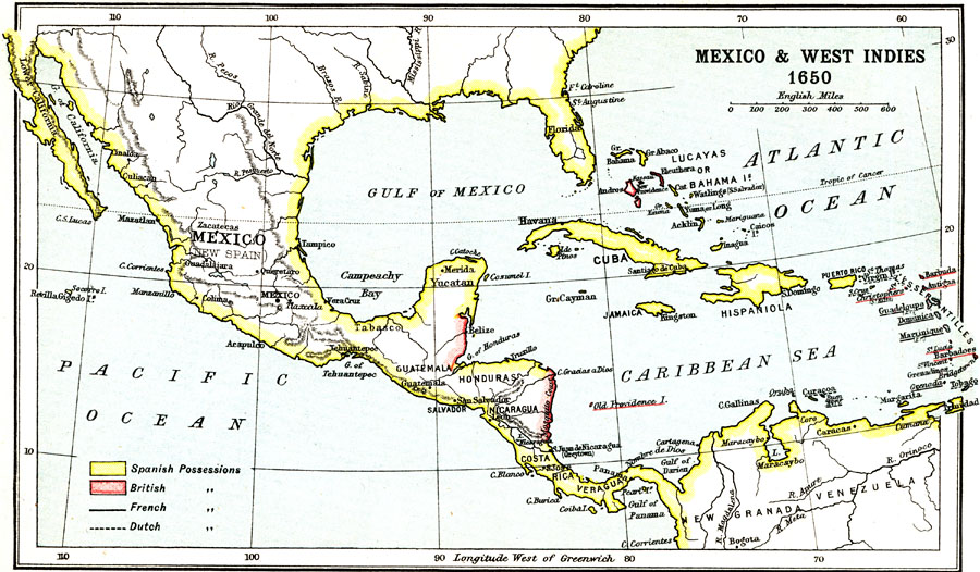
Description: A map of Mexico (New Spain), Central America, and the West Indies at the end of the Age of Discovery in 1650. The map is color–coded to show the coastal and island possessions at the time of Spain and Britain, with the island possessions of France and the Netherlands underlined. The map shows major cities, rivers, and coastal and terrain features of the region.
Place Names: A Regional Map of North America, Mexico, �Cuba, �Florida, �Guatemala, �Honduras, �Nicaragua, �Hispaniola, �Lucaya, �Bahama, �Yucata
ISO Topic Categories: society
Keywords: Mexico and West Indies, physical, �political, �historical, kCaribbean, kCentralAmerica, physical features, society, Unknown, 1650
Source: Ernest Rhys, Ed., A Literary and Historical Atlas of North & South America (New York, NY: E.P. Dutton & CO., 1911) 19
Map Credit: Courtesy the private collection of Roy Winkelman |
|