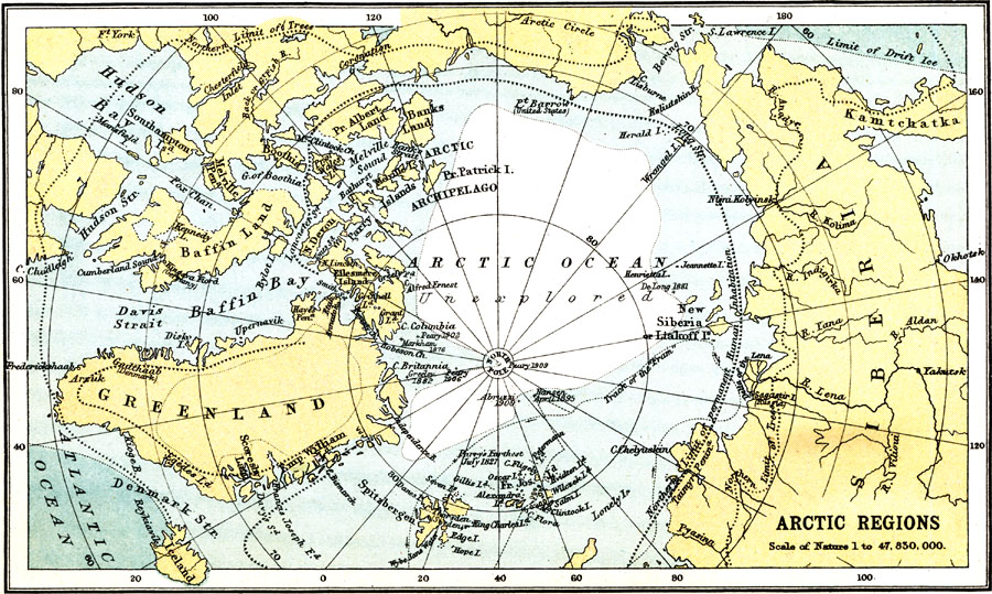
Description: This early 20th century map of the Arctic illustrates the expeditions of explorers, as well as the northern limit of human inhabitation and the northern limit of trees.
Place Names: Arctic Region, North Pole, �Siberia, �Greenland, �Arctic, �Kamtchatka, �Baffin Land, �Icelan
ISO Topic Categories: society,
oceans
Keywords: Arctic Regions, physical, physical features, society,
oceans, Unknown, 1911
Source: Ernest Rhys, Ed., A Literary and Historical Atlas of North & South America (New York, NY: E.P. Dutton & CO., 1911) 34
Map Credit: Courtesy the private collection of Roy Winkelman |
|