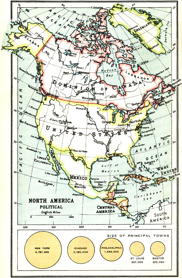
Description: A map from 1911 of North America, Central America, Greenland, and the Caribbean showing the political boundaries at the time, major cities, and rivers. A chart at the bottom of the map shows the comparative sizes of New York, Chicago, Philadelphia, St. Louis, and Boston with their populations at the time.
Place Names: A Complete Map of North America, Bahamas, �Canada, �Cuba, �Mexico, �United State
ISO Topic Categories: society
Keywords: North America, Political, physical, �political, physical features, country borders, society, Unknown, 1911
Source: Ernest Rhys, Ed., A Literary and Historical Atlas of North & South America (New York, NY: E.P. Dutton & CO., 1911) 38
Map Credit: Courtesy the private collection of Roy Winkelman |
|