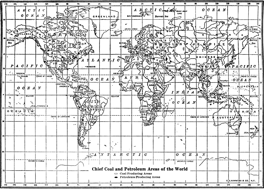
Description: A world map from 1912 showing the chief coal and petroleum producing areas at the time.
Place Names: A Complete Map of Globes and Multi-continent, Africa, �Antarctica, �Asia, �Australia, �North America, �Europe, �Pacific Ocean, �South America, �Atlantic Ocean, �Indian Ocean, �Dominion of Canada, �Russian Empire, �Chinese Empir
ISO Topic Categories: boundaries,
economy,
geoscientificInformation,
oceans
Keywords: Chief Coal and Petroleum Areas of the World, physical, �political, �statistical, �coal, �petroleum, kResources, physical features,
geological, country borders, economic, boundaries,
economy,
geoscientificInformation,
oceans, Unknown, 1912
Source: The Manitoba Free Press, The Free Press Almanac Encyclopedia and Atlas (New York, NY: C. S. Hammond & Co., 1912) XIV
Map Credit: Courtesy the private collection of Roy Winkelman |
|