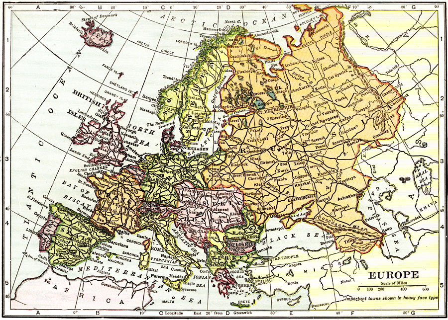
Description: Map of Europe in 1912 showing political boundaries, cities, waterways, and railways.
Place Names: A Complete Map of Europe, France, �Germany, �Greece, �Italy, �Portugal, �Romania, �Spain, �Sweden, �United Kingdom, �Russia, �Austria Hungar
ISO Topic Categories: boundaries,
inlandWaters,
transportation,
oceans
Keywords: Europe, physical, �political, �transportation, physical features,
topographical, country borders, railroads, boundaries,
inlandWaters,
transportation,
oceans, Unknown, 1912
Source: The Manitoba Free Press, The Free Press Almanac Encyclopedia and Atlas (New York, NY: C. S. Hammond & Co., 1912) 98
Map Credit: Courtesy the private collection of Roy Winkelman |
|