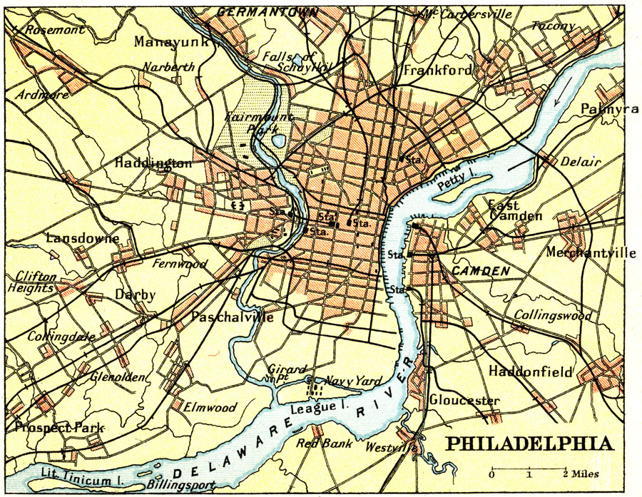
Description: A map from 1911 of Philadelphia and vicinity showing the Delaware River, principal roads, neighboring cities and towns, railroads and stations, and major landmarks.
Place Names: Pennsylvania, Philadelphi
ISO Topic Categories: society
Keywords: Philadelphia, transportation, roads,
railroads, society, Unknown, 1911
Source: Ernest Rhys, Ed., A Literary and Historical Atlas of North & South America (New York, NY: E.P. Dutton & CO., 1911) 63
Map Credit: Courtesy the private collection of Roy Winkelman |
|