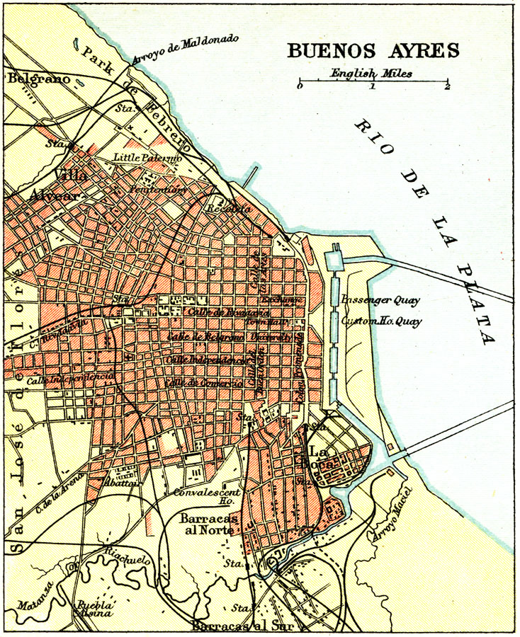
Description: A city plan from 1911 of the urban areas of Buenos Ayres (Buenos Aires). The map shows major thoroughfares, railways and stations, hospitals, and harbor area along the Rio de La Plata (La Plata River). The barrios of Belgrano, Villa Alvear (General Alvear), and San José de Florés (Flores) are shown.
Place Names: Argentina, Argentina, �Buenos Aire
ISO Topic Categories: society
Keywords: Buenos Ayres, political, �physical, physical features, society, Unknown, 1911
Source: Ernest Rhys, Ed., A Literary and Historical Atlas of North & South America (New York, NY: E.P. Dutton & CO., 1911) 95
Map Credit: Courtesy the private collection of Roy Winkelman |
|