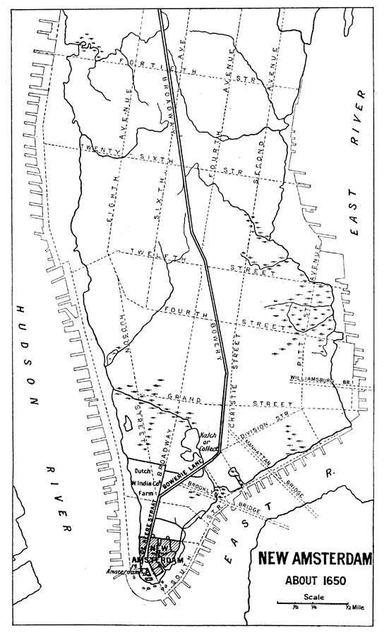
Description: A map of the city of New Amsterdam in 1650, with present–day features given in dashed lines for reference.
Place Names: New York, New Amsterda
ISO Topic Categories: structure
Keywords: New Amsterdam, historical, �political, local jurisdictions, structure, Unknown, 1650
Source: Ernest Rhys, Ed., A Literary and Historical Atlas of North & South America (New York, NY: E.P. Dutton & CO., 1911) 127
Map Credit: Courtesy the private collection of Roy Winkelman |
|