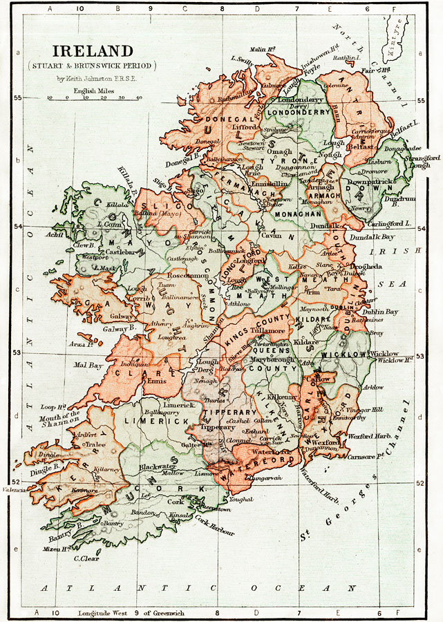
Description: A map of Ireland during the Stuart Period (from the ascension of King James I in1603 to the death of Queen Anne in 1714) and the Brunswick (House of Hanover) Period (from the ascension of George I as King of Great Britain and Ireland in 1714, to the death of Queen Victoria in1901). The map shows the four provinces of Ireland (Ulster, Connaught, Leinster, and Munster) and is color–coded to show the counties of each province. Major cities, towns, ports, battle sites, rivers, and coastal features are shown.
Place Names: Ireland, Londonderry, �Atlantic Ocean, �St. Georges Channel, �Irish Sea, �North Channel, �Shannon River, �Wexford, �Mal Bay, �Nore River, �Limerick, �Blackwater River, �Galway Bay, �Lake Mask, �Bann River, �Cavan, �Maryborough, �Tipperary, �Galtee Mountains, �R
ISO Topic Categories: transportation,
oceans,
inlandWaters,
elevation,
boundaries
Keywords: Ireland during the Stuart and Brunswick Period, physical, �political, �transportation, �historical, physical features,
topographical, country borders,
major political subdivisions, water routes, transportation,
oceans,
inlandWaters,
elevation,
boundaries, Unknown, 1605–1714
Source: Keith Johnston, The Half-Crown Atlas of British History (Edinburgh, Scotland: W. & A. K. Johnston, 1871) 18
Map Credit: Courtesy the private collection of Roy Winkelman |
|