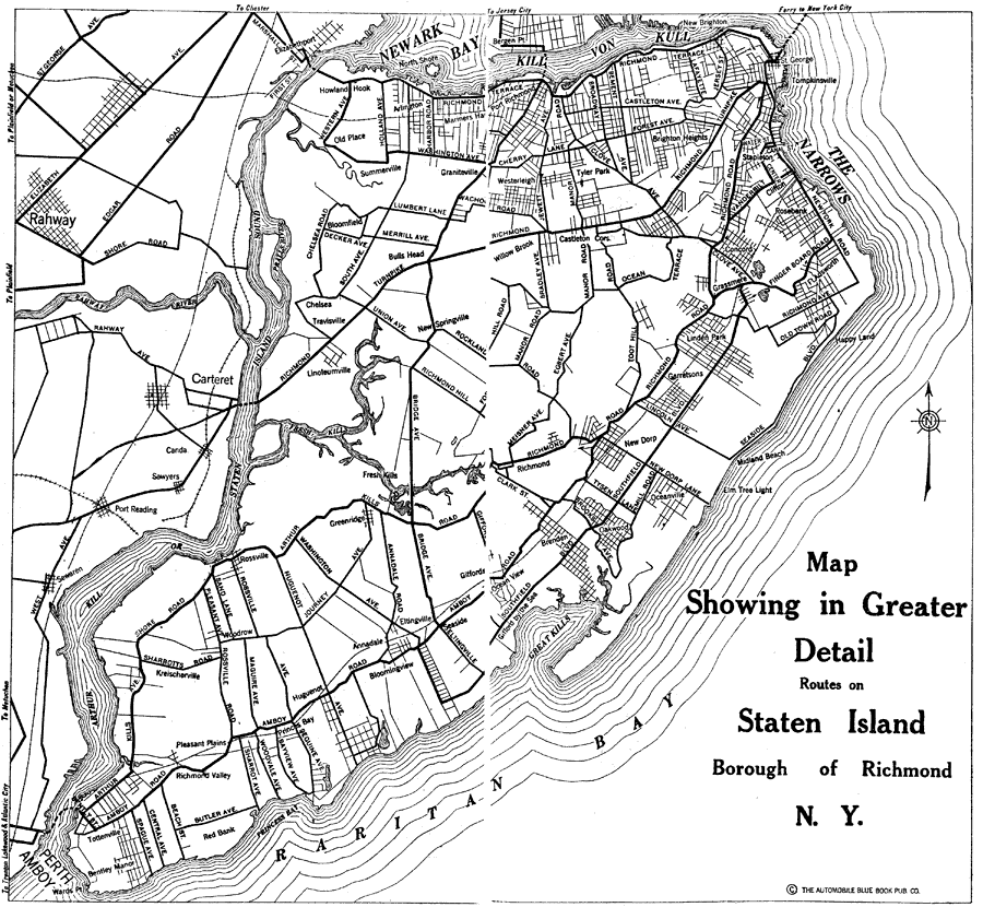
Description: A road map of Staten Island, Borough of Richmond, from the 1920 Automobile Club of Rochester, showing principal cities and towns, ferry docks, and bridges.
Place Names: New York, Newark Bay, �Staten Island, �Rahway River, �The Narrows, �Kill von Kull, �Raritan Bay,
ISO Topic Categories: location,
inlandWaters,
transportation
Keywords: Staten Island, Borough of Richmond, physical, �transportation, kAutomobile, physical features, roads,
railroads, location,
inlandWaters,
transportation, Unknown,1920
Source: , Automobile Club of Rochester (New York, NY: The Automobile Club of Rochester, 1920) 154-155
Map Credit: Courtesy the private collection of Roy Winkelman |
|