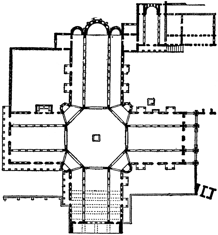
Description: A plan of the church of Kalat–Seman in the northern Syrian city of Aleppo. The church is also known as St. Simon Stylites, Samaan, or San Simeon, consecrated in AD 476, and is considered to be one of the oldest remaining churches in the world.
Place Names: Syria , Plan of Church of Kalat-Sema
ISO Topic Categories: structure
Keywords: Plan of Church of Kalat-Seman, historical, �architecture, structure, Unknown, AD 459 to 599
Source: , The Enctclopædia Britannica a Dictionary of Arts, Sciences, Literature and General Information Eleventh Edition Volume II Andros to Austria (New York, NY: The Encyclopædia Britannica Company, 1910) 390
Map Credit: Courtesy the private collection of Roy Winkelman |
|