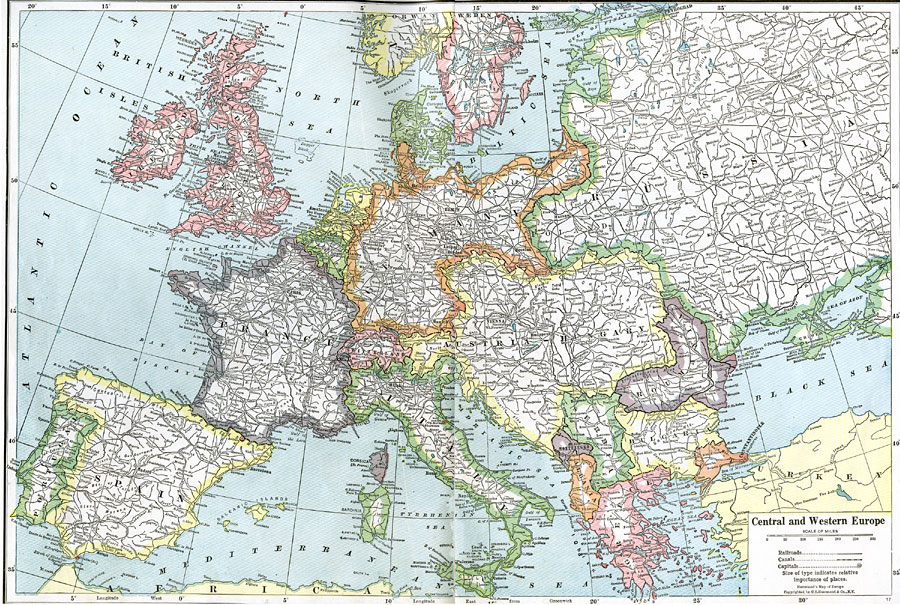
Description: A map of European countries after World War I and the treaty of Versailles. The map shows the established boundaries, capitals and principal cities, railways, and rivers.
Place Names: Western and Central Europe, France, �Germany, �Greece, �Italy, �Poland, �Portugal, �Romania, �Spain, �Sweden, �United Kingdom, �Norway, �Denmark, �Netherlands, �Belgium, �Ireland, �Finland, �Estonia, �Lithuania, �Latvia, �Belarus, �Romania, �Roumania, �Ukraine, �Bulgaria, �Turke
ISO Topic Categories: boundaries,
inlandWaters
Keywords: Central and Western Europe, physical, �political, �historical, �transportation, kWWI, physical features, country borders, railroads,
water routes, WWI, boundaries,
inlandWaters, Unknown, 1914–1918
Source: , The Victory Atlas of the War (New York, NY: Charles Scribner's Sons, 1918) 4-5
Map Credit: Courtesy the private collection of Roy Winkelman |
|