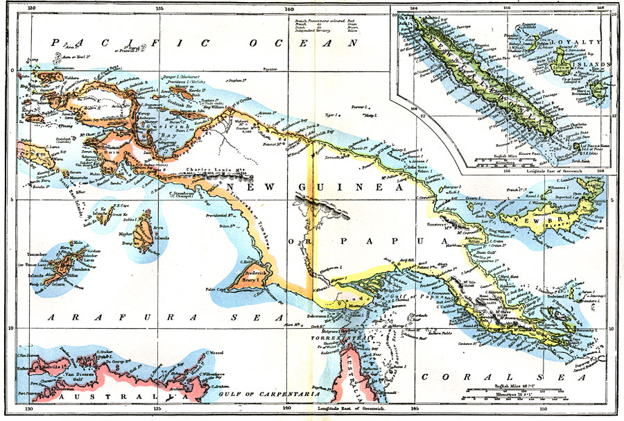
Description: A map of New Guinea or Papua from 1903 showing various islands, mountain ranges, rivers, and other bodies of water. An inset map details New Caledonia and the Loyalty Islands. "New Guinea, the largest island in the world (excluding Australia), lies immediately north of Australia, between 0° 25&rsquot; and 10° 40&rsquot; S. lat. and between 130° 50&rsquot; and 150° 35&rsquot; E. long. It is 1490 miles long, with a maximum breadth of 430 miles, its area being about 306,00 square miles." —Kellogg, 1903
Place Names: Papua New Guinea, Pacific Ocean, �New Caledonia, �Arafura Sea, �Coral Sea, �Gulf of Carpentaria, �Gulf of Papu
ISO Topic Categories: oceans,
inlandWaters,
elevation
Keywords: New Guinea and New Caledonia, physical, physical features,
topographical, oceans,
inlandWaters,
elevation, Unknown,1903
Source: Day Otis Kellogg, Encyclopædia Britannica Vol. XVII (New York, NY: Werner Company, 1903) 376
Map Credit: Courtesy the private collection of Roy Winkelman |
|
