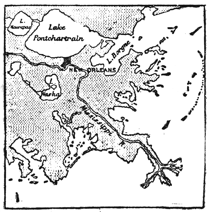
Description: A map from 1903 of the Mississippi Delta region showing the site of New Orleans, Lake Pontchartrain, Lake Borgne, and the course of the Mississippi River through the bird's–foot delta to the Gulf of Mexico.
Place Names: Louisiana, New Orleans, �Mississippi River, �Lake Pontchartrai
ISO Topic Categories: oceans,
inlandWaters
Keywords: Environs of New Orleans, physical, physical features, oceans,
inlandWaters, Unknown,1903
Source: Day Otis Kellogg, Encyclopædia Britannica Vol. XVII (New York, NY: Werner Company, 1903) 402
Map Credit: Courtesy the private collection of Roy Winkelman |
|