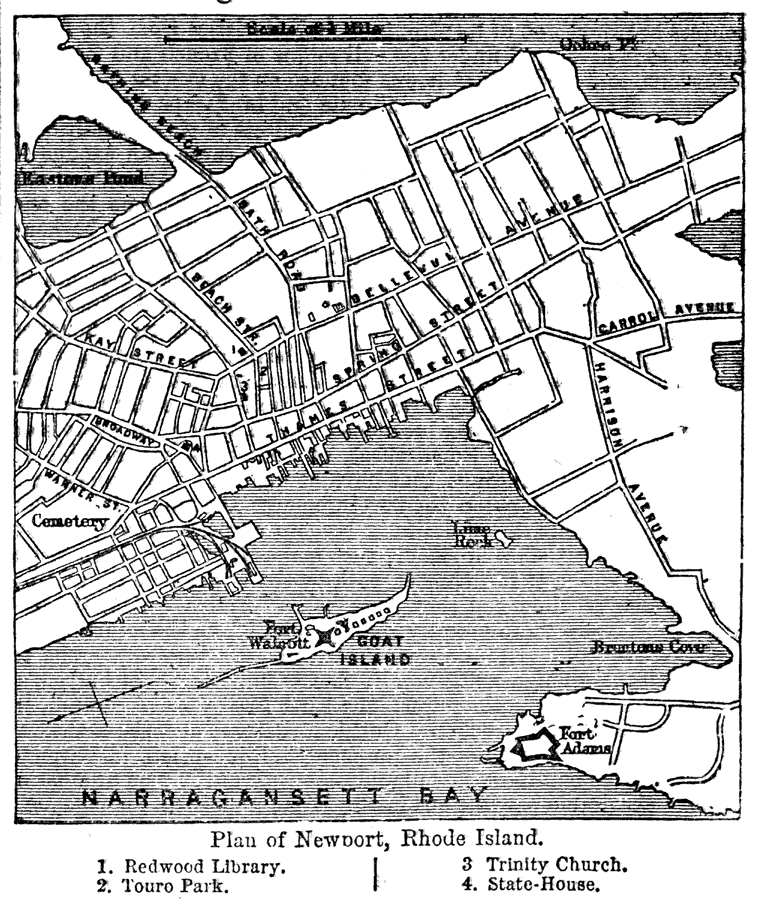
Description: A plan from 1903 of the city of Newport, Rhode Island showing the location of streets, Narragansett Bay, Goat Island, and various important landmarks. Some of the landmarks include: Fort Adams, Fort Walcott, Redwood Library, Touro Park, Trinity Church, and the State–House.
Place Names: Rhode Island, Newport, �Narragansett Bay,
ISO Topic Categories: transportation,
inlandWaters
Keywords: Plan of Newport, Rhode Island, physical, �transportation, physical features, railroads,
roads, transportation,
inlandWaters, Unknown,1903
Source: Day Otis Kellogg, Encyclopædia Britannica Vol. XVII (New York, NY: Werner Company, 1903) 406
Map Credit: Courtesy the private collection of Roy Winkelman |
|