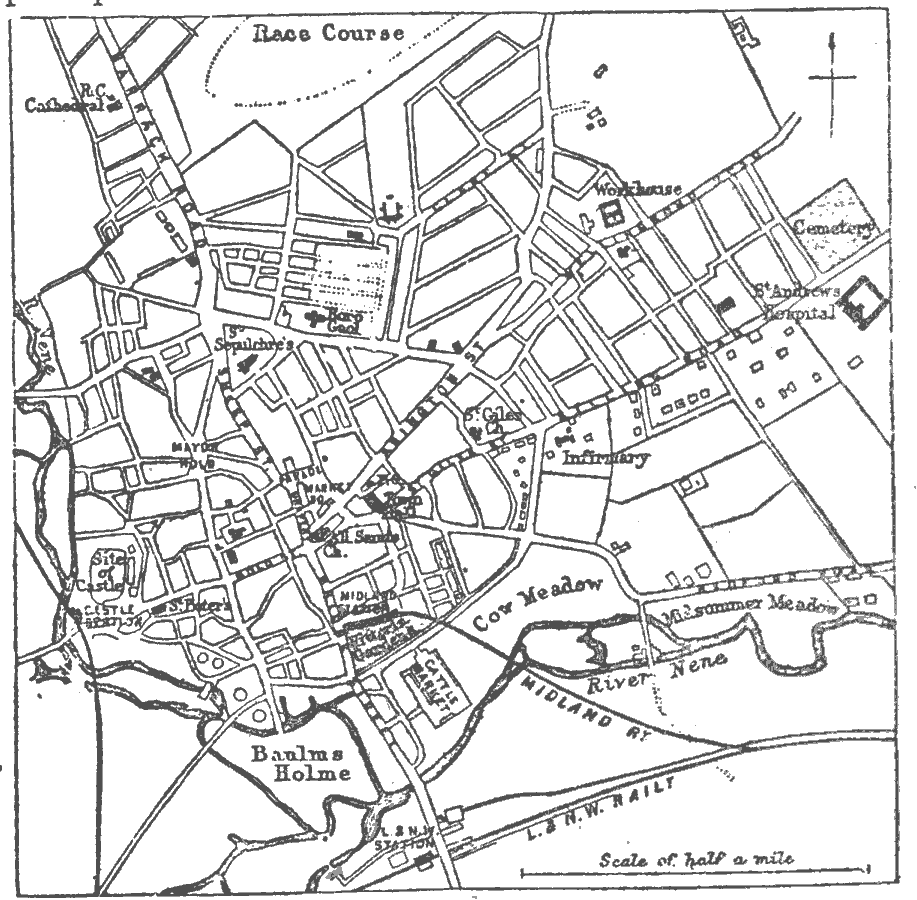
Description: A map of the English city of Northampton from 1903. The map shows the location of the River Nene, roads, railways and railway stations, churches, parks, municipal buildings, and landmarks.
Place Names: United Kingdom, Northampton, �River Nene
ISO Topic Categories: transportation,
structure,
inlandWaters
Keywords: Plan of Northampton, physical, �transportation, physical features, roads,
railroads, transportation,
structure,
inlandWaters, Unknown,1903
Source: Day Otis Kellogg, Encyclopædia Britannica Vol. XVII (New York, NY: Werner Company, 1903) 557
Map Credit: Courtesy the private collection of Roy Winkelman |
|