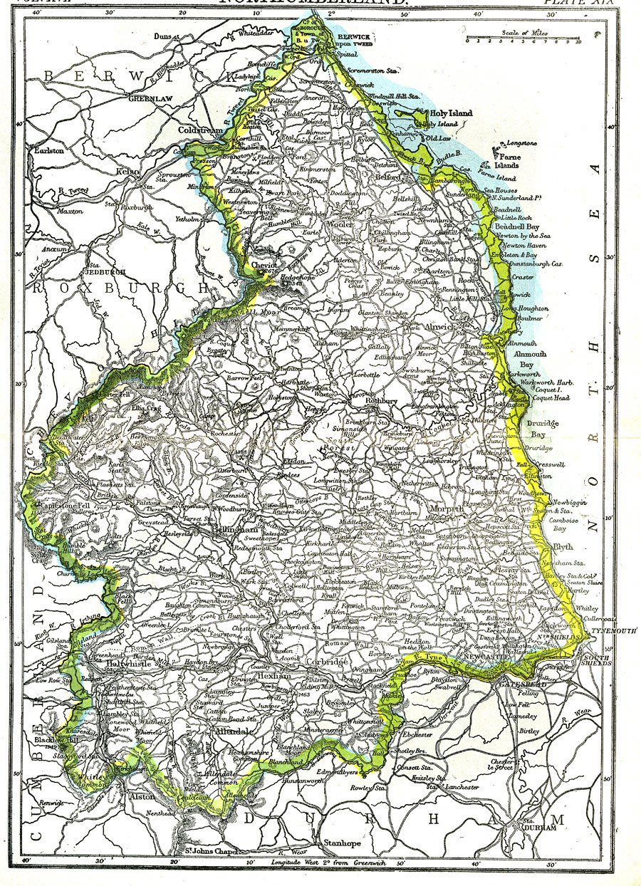
Description: A map of the English county of Northumberland from 1903, which was once the Kingdom of Northumberland or Northumbria. This map shows cities, mountains, rivers, and the transportation network.
Place Names: United Kingdom, Northumberland, �England, �Northumbria, �Allendale, �Bellingham,
ISO Topic Categories: transportation,
oceans,
inlandWaters,
boundaries
Keywords: Northumberland, physical, �political, �transportation, physical features,
topographical, county borders, roads,
railroads, transportation,
oceans,
inlandWaters,
boundaries, Unknown,1903
Source: Day Otis Kellogg, Encyclopædia Britannica Vol. XVII (New York, NY: Werner Company, 1903) 568
Map Credit: Courtesy the private collection of Roy Winkelman |
|