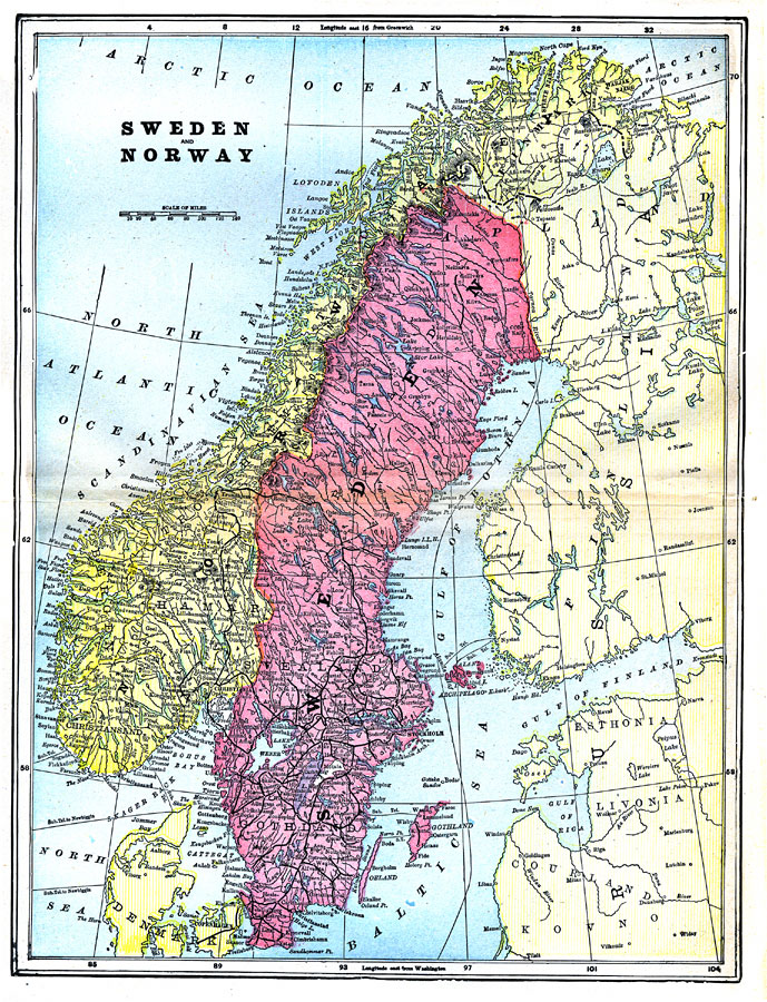
Description: A map of the Scandinavian countries of Norway and Sweden in 1903. This map shows political subdivisions, cities, waterways, and railways.
Place Names: Scandinavia, Sweden, �Norway, �Stockholm, �Christiani
ISO Topic Categories: boundaries,
inlandWaters,
oceans,
transportation
Keywords: Sweden and Norway, physical, �political, �transportation, physical features,
topographical, country borders,
major political subdivisions, railroads, boundaries,
inlandWaters,
oceans,
transportation, Unknown,1903
Source: Day Otis Kellogg, Encyclopædia Britannica Vol. XVII (New York, NY: Werner Company, 1903) 576
Map Credit: Courtesy the private collection of Roy Winkelman |
|