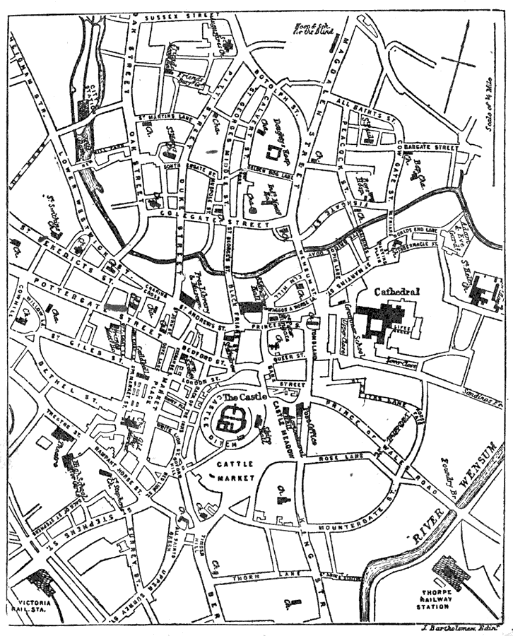
Description: A plan of Norwich, England, from 1903, the capital of the county of Norfolk. The map shows the location of the River Wensum, roads, railroads, parks, cemetery, the castle, cathedral, churches, and various buildings and other important places.
Place Names: United Kingdom, England, �Norwich, �Norfolk, �River Wensum, �Wensum Rive
ISO Topic Categories: transportation,
inlandWaters,
structure
Keywords: Plan of Norwich, physical, �transportation, physical features, roads,
railroads, transportation,
inlandWaters,
structure, Unknown,1903
Source: Day Otis Kellogg, Encyclopædia Britannica Vol. XVII (New York, NY: Werner Company, 1903) 595
Map Credit: Courtesy the private collection of Roy Winkelman |
|