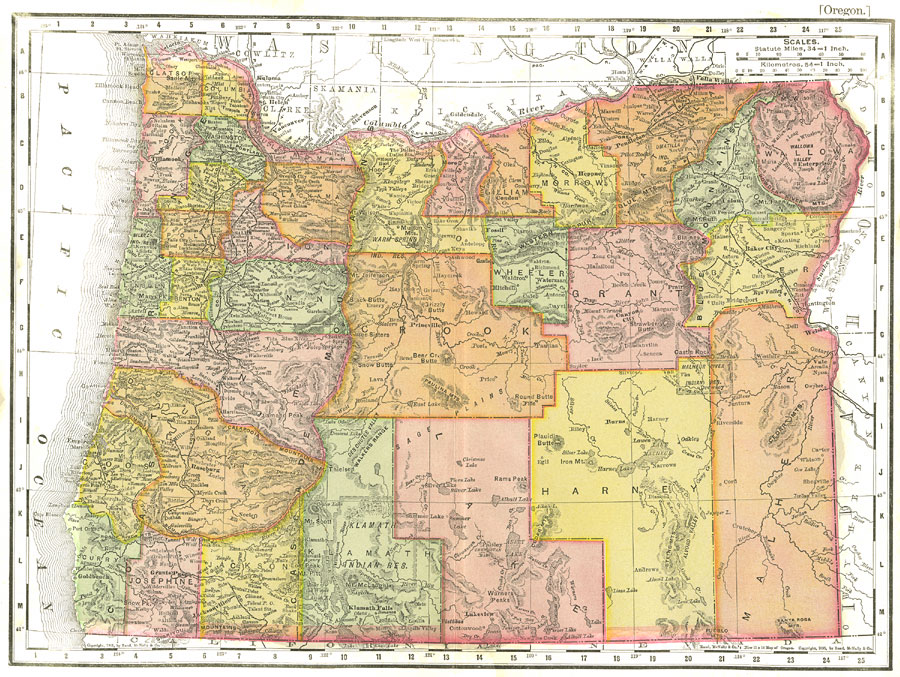
Description: A map from 1903 of Oregon showing the capital of Salem, counties and county seats, principal cities and towns, Indian reservations, railroads, mountain systems, lakes, rivers, and coastal features.
Place Names: Oregon, Salem, �Oregon City, �Portland, �Rosebur
ISO Topic Categories: inlandWaters,
transportation,
oceans,
boundaries
Keywords: Oregon, physical, �political, �transportation, kNativeAmerican, physical features,
topographical, major political subdivisions,
county borders, railroads, inlandWaters,
transportation,
oceans,
boundaries, Unknown,1903
Source: Day Otis Kellogg, Encyclopædia Britannica Vol. XVII (New York, NY: Werner Company, 1903) 824
Map Credit: Courtesy the private collection of Roy Winkelman |
|