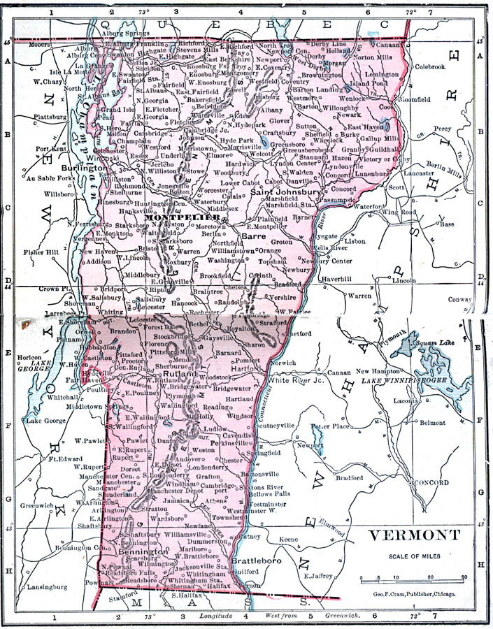
Description: A map from 1906 of Vermont showing the capital, Montpelier, principal cities and towns, railroads, mountains, lakes, and rivers.
Place Names: Vermont, Bennington, �Brattleborre, �Burlington, �Green, �Hyde Park, �Manchester, �Montpelier, �Rutland, �St. Albans, �Woodstoc
ISO Topic Categories: boundaries,
inlandWaters,
location,
oceans
Keywords: Vermont, physical, �political, �borders, �boundaries, �physical features, country borders, boundaries,
inlandWaters,
location,
oceans, Unknown, 1906
Source: George F. Cram , Cram's Quick Reference Atlas and Gazetteer of the World (Chicago , IL: George F. Cram Series of Atlases, 1906) 12
Map Credit: Courtesy the private collection of Roy Winkelman |
|