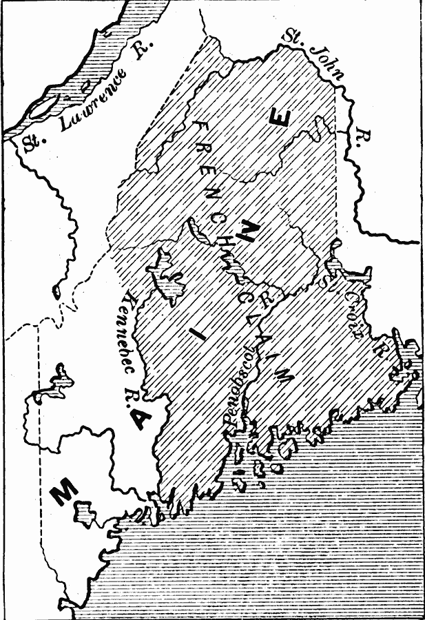
Description: A map of the disputed territory of Maine between the French and English settlers, from the early claims by the French to the Kennebec River in 1605 to the English claims to the St. Croix River in 1752.
Place Names: Maine,
ISO Topic Categories: boundaries,
inlandWaters,
location,
oceans
Keywords: The French Claim in Maine, physical, �political, physical features, major political subdivisions, boundaries,
inlandWaters,
location,
oceans, Unknown, 1605–1752
Source: Edward Eggleston, The Household History of the United States and Its People (New York, NY: D. Appleton and Company, 1898) 119
Map Credit: Courtesy the private collection of Roy Winkelman |
|