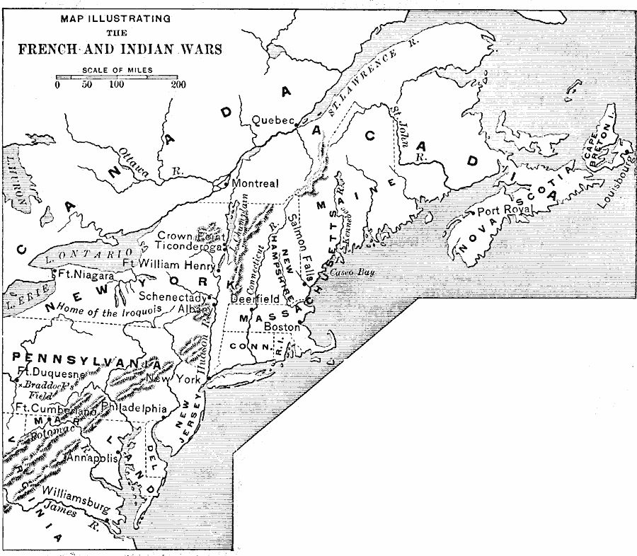
Description: A map of the North American region of the French and Indian War (1754–1763) between the French and the British for territorial control. The map shows important places and major cities, towns, forts, and battle sites during the conflict.
Place Names: A Regional Map of North America, Canada, �United States, �Pennsylvania, �New York, �Connecticut, �Massachusetts, �Rhode Island, �Maine, �Marylan
ISO Topic Categories: boundaries,
inlandWaters,
location,
oceans,
intelligenceMilitary
Keywords: French and Indian Wars, historical, �french and indian war, �political, �physical, physical features, country borders,
major political subdivisions, other military, boundaries,
inlandWaters,
location,
oceans,
intelligenceMilitary, Unknown, 1754–1763
Source: Edward Eggleston, The Household History of the United States and Its People (New York, NY: D. Appleton and Company, 1898) 129
Map Credit: Courtesy the private collection of Roy Winkelman |
|