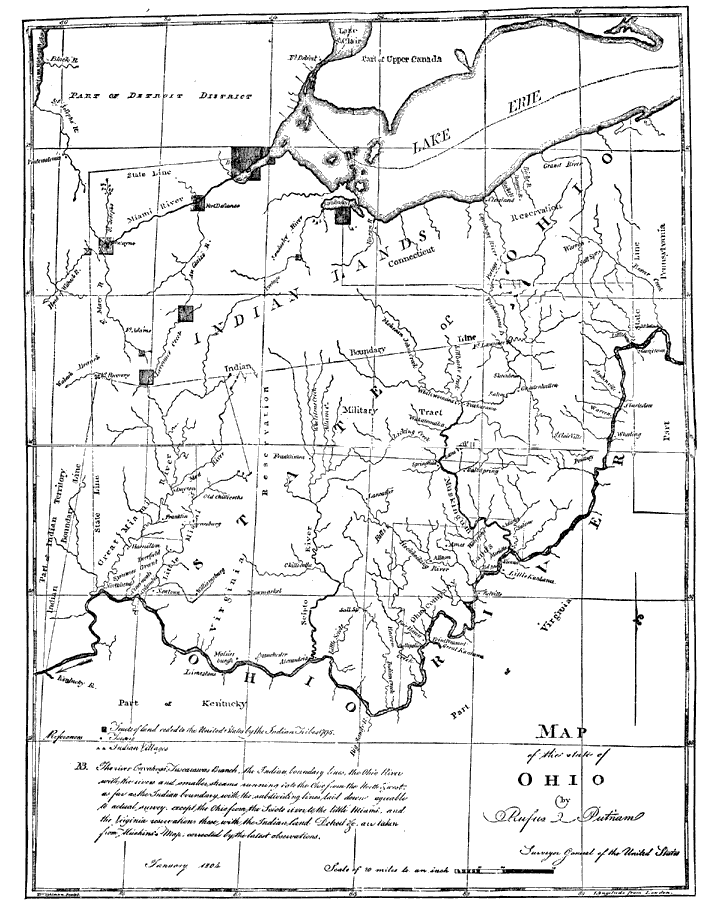
Description: After the French and Indian War, France ceded control of the Northwest region including Ohio to Great Britain. With American independence, Ohio became a part of the Northwest Territory, the first organized land addition to the original thirteen colonies. Ohio achieved statehood in 1803.
Place Names: Ohio, Dayton, �Cincinatti, �Lake Erie,
ISO Topic Categories: boundaries,
inlandWaters
Keywords: The State of Ohio, physical, �political, �historical, �Indian lands, kNativeAmerican, physical features, country borders,
major political subdivisions, boundaries,
inlandWaters, Unknown,January 1804
Source: Justin Winsor, Narrative and Critical History of North America Vol. VII (Boston, MA: Houghton, Mifflin and Company, 1888) 544-545
Map Credit: Courtesy the private collection of Roy Winkelman |
|