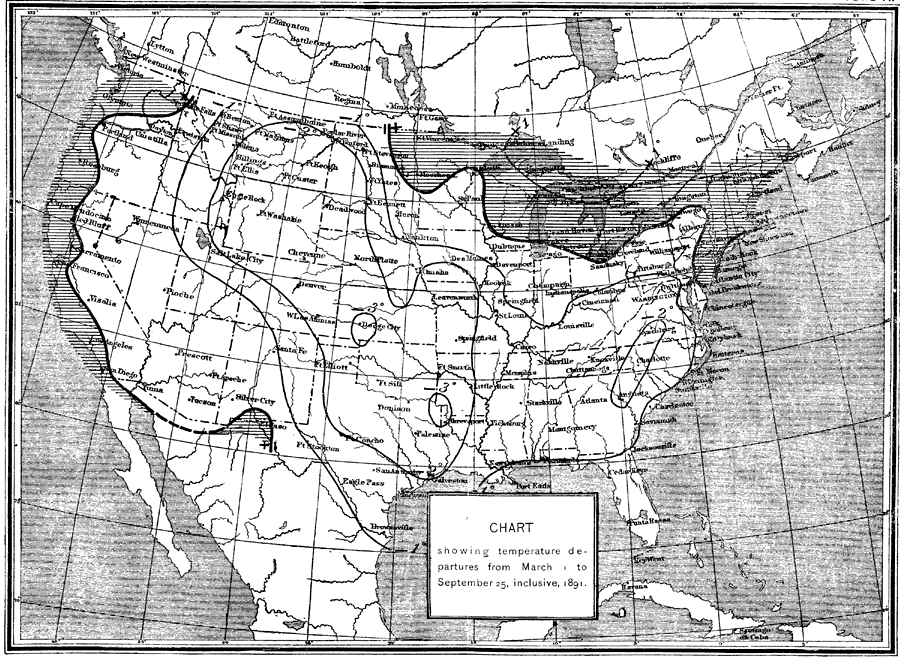
Description: A map from 1891 showing comparative temperature departures with averages from previous years. "Plate VI exhibits the thermal conditions of the season as compared with the average of previous years, the shaded portions showing that in New England, over the lake region, and along the Pacific coast it was slightly warmer than usual, while throughout all principal agricultural districts the average daily temperature for the entire period was from 1 to 3 below the average." — Report of the Secretary of Agriculture, 1891.
Place Names: Meteorology, Boston, �Chicago, �Houston, �Los Angeles, �Miami, �New Orleans, �New York, �San Diego, �Seattle, �Washington D.C., �temperatur
ISO Topic Categories: boundaries,
climatologyMeteorologyAtmosphere,
inlandWaters
Keywords: Temperature Departures, physical, �political, �meteorological, kClimate, physical features, country borders,
major political subdivisions, temperature, boundaries,
climatologyMeteorologyAtmosphere,
inlandWaters, Unknown,March 1, 1891–September 25, 1891
Source: , Report of the Secretary of Agriculturre - 1891 (Washington, DC: Government Printing Office, 1892) 586
Map Credit: Courtesy the private collection of Roy Winkelman |
|
