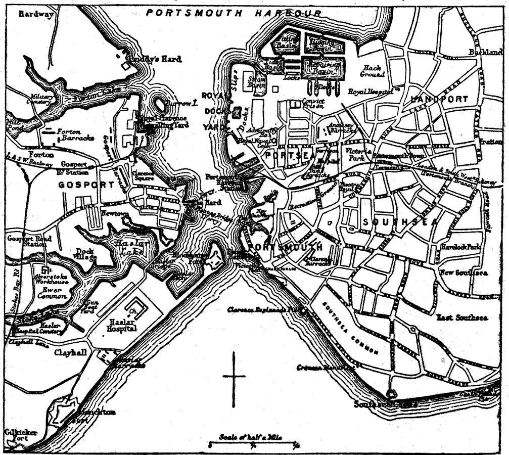
Description: A plan of Portsmouth from 1903. The map shows the docks around Portsmouth Harbor, roads, railways and railway stations, parks, and various buildings and other important places. Portsmouth, England was built on its strength as a seaport and naval station, but the military port has declined in recent years.
Place Names: United Kingdom, Portsmouth, �Portsmouth Harbour, �Gosport, �Southsea, �Portsea, �Landpor
ISO Topic Categories: boundaries,
inlandWaters,
society
Keywords: Plan of Portsmouth, England, physical, �political, physical features, local jurisdictions, boundaries,
inlandWaters,
society, Unknown,1903
Source: Day Otis Kellogg, D.D., Encyclopedia Britannica Vol. XIX (New York, NY: The Werner Company, 1903) 534
Map Credit: Courtesy the private collection of Roy Winkelman |
|
