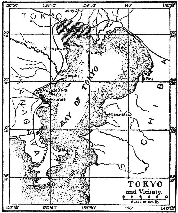
Description: A map from 1921 of Tokyo and the Bay of Tokyo, showing railroads, neighboring cities, and coastal features of the bay and Uragi Strait. "Tokyo, or Tokio, Japan, the capital and largest city of the empire, is situated in the east-central part of the island of Hondo, on the Bay of Tokyo and on both sides of the Sumida River, which divides it into two parts. The city has an area of thirty square miles and a population (1916) of 2,245,000, and is the sixth city of the world." — E.D. Foster, 1921
Place Names: Japan, Senyu, �Tokyo, �Kisaratsu, �Kisarazu, �Chiba, �Shinogawa, �Shinagawa, �Kawasaki, �Kanagawa, �Yokohama, �Yokosuka, �Uragi Strait,
ISO Topic Categories: inlandWaters,
transportation
Keywords: Tokyo and Vicinity, physical, �transportation, physical features, railroads, inlandWaters,
transportation, Unknown,1921
Source: Ellsworth D. Foster, ed., The American Educator Vol. 8 (Chicago, IL: Ralph Durham Company, 1921) 3590
Map Credit: Courtesy the private collection of Roy Winkelman |
|