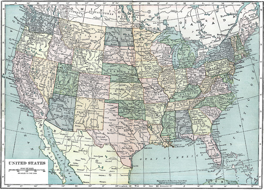
Description: A map from 1910 of the ‘lower forty–eight’ United States showing state boundaries and state capitals, major cities and towns, railroads, mountain systems, lakes, rivers, and coastal features.
Place Names: A Complete Map of the United States, Boston, �Chicago, �Los Angeles, �Miami, �New York, �San Diego, �Seattle, �Washington D.C., �Dallas, �St. Louis, �Kansas City, �Salt Lake City, �Pittsburgh, �Rocky Mountains, �Missouri River, �Mississippi River, �Allegheny Mountains,�Gulf of Mexico, �Gu
ISO Topic Categories: boundaries
Keywords: United States, physical, �political, �inlandWaters, �lake, �rivers, physical features, country borders,
major political subdivisions, boundaries, Unknown,1910
Source: Ellsworth D. Foster, ed., The American Educator Vol. 8 (Chicago, IL: Ralph Durham Company, 1921) 3670
Map Credit: Courtesy the private collection of Roy Winkelman |
|