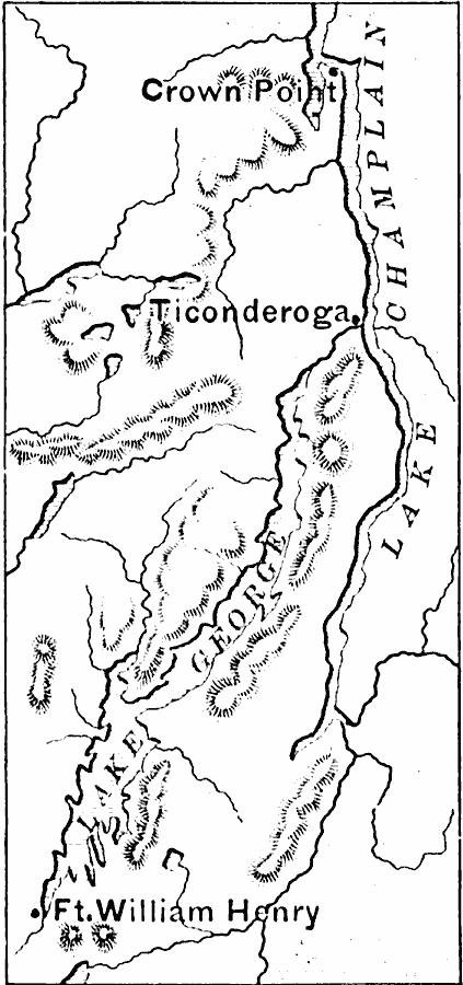
Description: The area around Ticonderoga during the French and Indian War, showing Crown Point, Lake Champlain, Lake George, and Fort William Henry.
Place Names: New York, Crown Point, �Ticonderoga, �Ft. William Henr
ISO Topic Categories: inlandWaters,
location,
intelligenceMilitary
Keywords: Ticonderoga, physical, �historical, �french and indian war, physical features, other military, inlandWaters,
location,
intelligenceMilitary, Unknown, 1754–1763
Source: Edward Eggleston, The Household History of the United States and Its People (New York, NY: D. Appleton and Company, 1898) 133
Map Credit: Courtesy the private collection of Roy Winkelman |
|