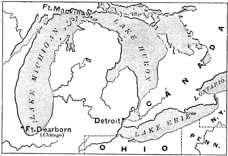
Description: A map of the Great Lakes region at the outbreak of the War of 1812, showing the sites of initial English successes, including Fort Mackinaw, Fort Dearborn (Chicago), and Detroit, which was surrendered to the English by General Hull.
Place Names: A Regional Map of North America, Canada, �United States, �Detroi
ISO Topic Categories: intelligenceMilitary,
inlandWaters,
location,
boundaries
Keywords: The Great Lakes, political, �physical, physical features, major political subdivisions, intelligenceMilitary,
inlandWaters,
location,
boundaries, Unknown, 1812
Source: Edward Eggleston, The Household History of the United States and Its People (New York, NY: D. Appleton and Company, 1898) 247
Map Credit: Courtesy the private collection of Roy Winkelman |
|