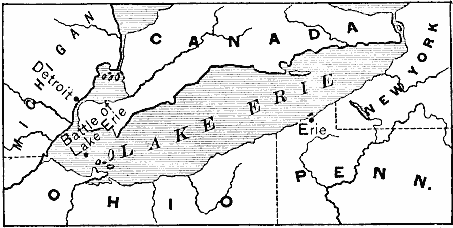
Description: A map of Lake Erie during the War of 1812 showing the site of the naval Battle of Lake Erie (10 September, 1813). The map shows Lake St. Claire, Detroit, and Erie Pennsylvania.
Place Names: A Regional Map of North America, Canada, �United State
ISO Topic Categories: boundaries,
inlandWaters,
intelligenceMilitary,
location
Keywords: Lake Erie, physical, �political, �historical, �war of 1812, physical features, major political subdivisions, other military, boundaries,
inlandWaters,
intelligenceMilitary,
location, Unknown, 1813
Source: Edward Eggleston, The Household History of the United States and Its People (New York, NY: D. Appleton and Company, 1898) 257
Map Credit: Courtesy the private collection of Roy Winkelman |
|